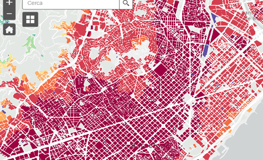
Online GIS on the Accessibility to Public Transport in the Province of Barcelona
Client: Àrea Metropolitana de Barcelona (AMB)
This web viewer evaluates the accessibility of public transport within the scope of the integrated fare system of the demarcation of Barcelona, using the calculation made by Mcrit.
The online GIS considers access to the public transport system (bus, metro, tram, FGC and Cercanías) as a combination of ways to access it (foot, bicycle and private vehicle, in the case of park and rides).


